
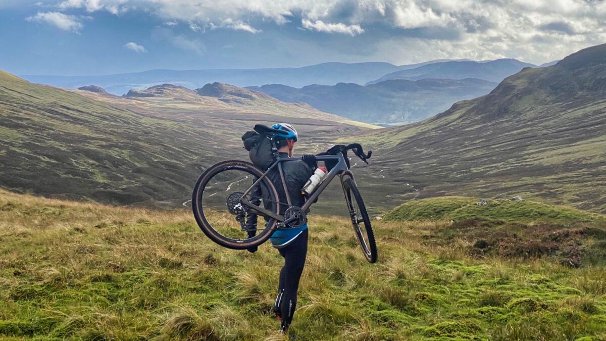
We’re pushing our bikes up an unrideably steep track, a dead-end leading to a peat bog, with a hailstorm coming in sideways on a gale when Lanky cracks.
“OK, I admit it,” he hollers. “The guy’s a psycho!”
He’s referring to round-the-world cyclist Markus Stitz, designer of the Perthshire Drovers’ Trail, a bike-packing route launched this year. With a bit of sponsorship money and a GoPro, he and Bikepacking Scotland shot a film and launched a website along with the online route, the aim of which is to connect various gravel tracks into a navigable circuit. Scotland’s enviable access rights mean a huge network of off-road routes — service tracks, farm tracks, access tracks and drove tracks — are all available, but their origins mean they tend to go exactly where they need to go and not an inch further. If you want a continuous, multi-day route, joining them together can be tricky. The route hopes to solve this by giving you a multi-surface trail through all of this with a few interconnections between tracks: short sections of pushing or carrying. It’s billed as a four-day route suitable for gravel bikes with all but the thinnest tyres. You can bivvy, camp or stay locally along the way.
So does this idea pay off? And could this be the ultimate adventure route? Only one sensible way to find out: do some research, read reviews, and give it careful thought.
Fortunately, there’s a not-sensible way, and that’s to give the website a cursory glance then agree to do it. And in three days, not the recommended four. And so I find myself riding out of Pitlochry on a tranquil morning before heading up into the mountains along a winding track towards a remote lodge. My accomplice, Lanky, is hurtling up the M6 and will join me later. It’s appealing being so far from civilisation — a degree of remoteness that would barely be possible in a day on foot, let alone a couple of hours.
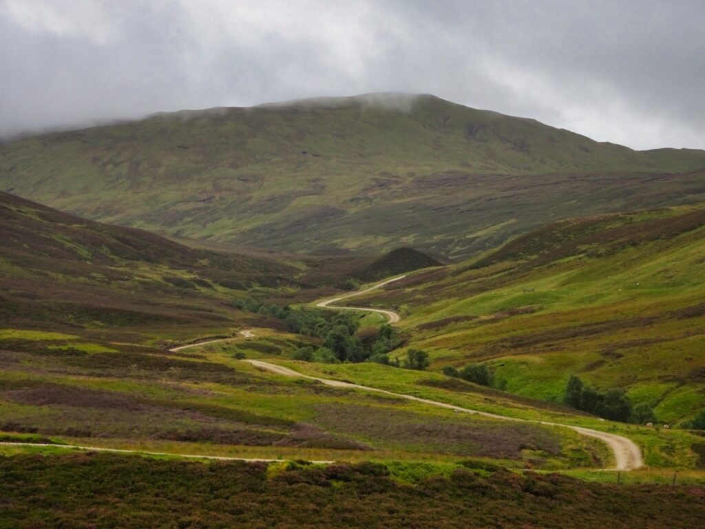
At the lodge, I come to the first of the interconnects. A muddy path through a sheep field leads onto the side of a hill. It’s deceptively unrideable, the peat bog grabbing my front wheel and tossing me on my back. I land unscathed on spongy ground and I have a good chuckle, but by the third or fourth time, that’s wearing a bit thin, so I resort to the walk of shame. A careful crossing over a river leads me into Glen Tilt and a good track.
“Glen Tilt is often described as one of the most beautiful glens in Scotland,” the route description says. This region is glenned up to the eyeballs, so that’s an impressive claim, and not without reason. The Tilt gouges out a long straight through the green hills. The track is fast and leaves me grinning all the way into Blair Atholl.
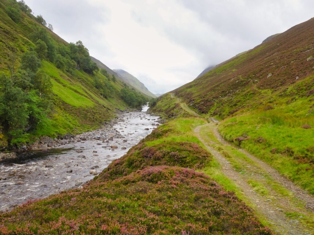
The route sends me back almost the same way after lunch, dipping its toe into the Cairngorms on rocky tracks. It’s bleak scenery, and my 47mm tyres are bouncing perilously down a track when the GPS beeps me in the direction of a river bank. After instrumentation checks, I shoulder my bike, jump the river and sink in a bog up to my ankles. I look at the map, decide I have no need for where this trail points me and cowardly retreat down the track to pick up the route later.
Smooth forestry tracks are very welcome, but after two — maybe three — hours, I’m done in and I’ve seen all the variations of Scots pine you could imagine. The route slingshots Pitlochry again, so this seemed a good place to pop back to the B&B. A braver rider might bivvy, but with a lot of rain forecast overnight, I can live with my choices.
Lanky samples some of the route in the afternoon. I meet him in the pub and we fix each other with a steely glare, wondering which of us will destroy the other. Friends, but sworn nemeses, we have scores to settle from our last trip together through Norway. He bluffs a niggling knee injury and I claim fatigue.
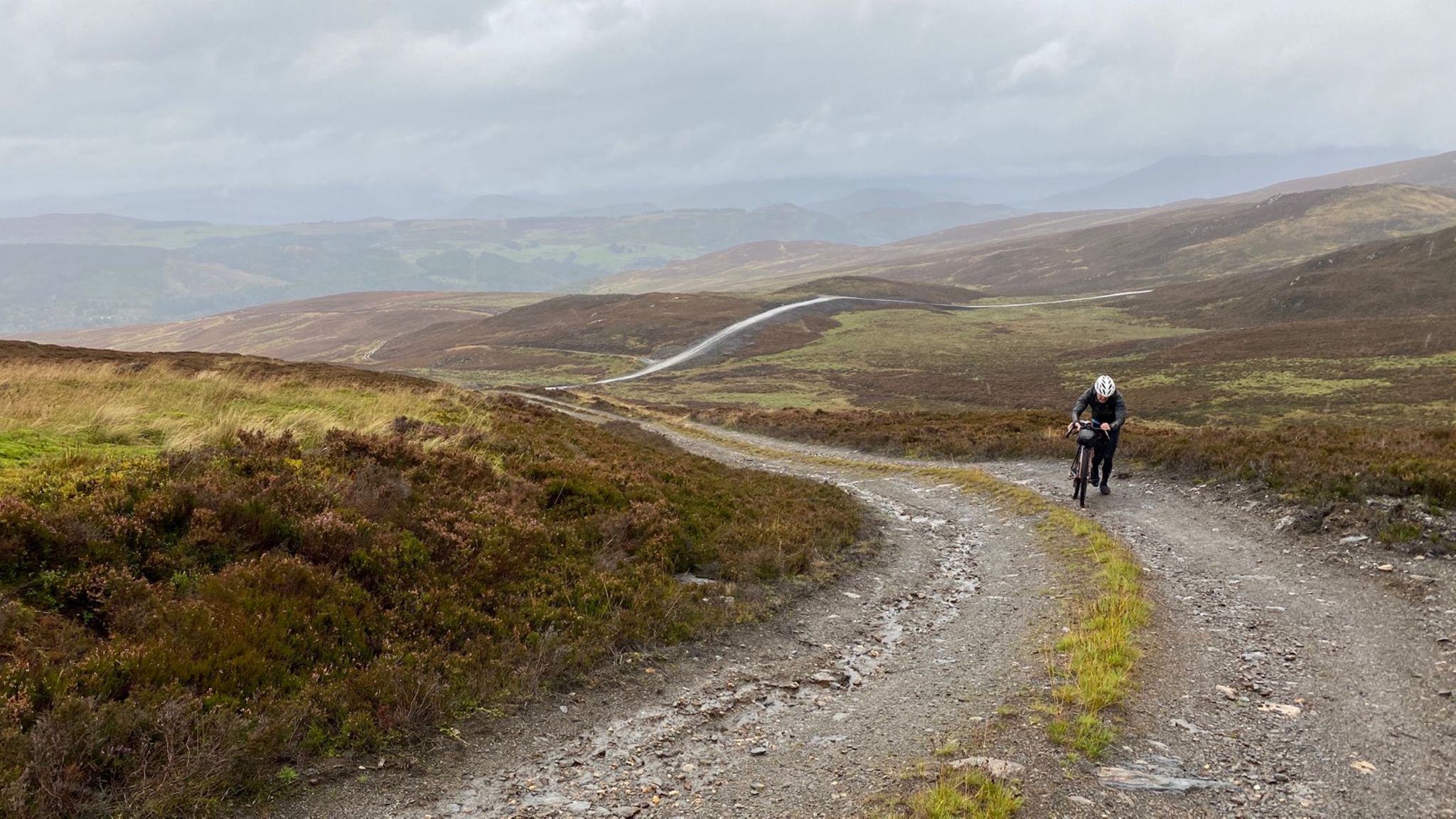
We pack overnight stuff the next day for a morning of drizzle. We’re soon pushing up a steep climb that leads disappointingly to a view of a baryte mine, then down through wet clay to the River Tay. I recognise the tat-tat-tat sound coming from my bike, the sound of metal on metal: I’ve worn through a set of brake pads in a couple of wet days and I’m down to just rear braking and will power. On top of that, my gear cable is letting in filth somewhere, and changing gear now involves kicking the mech with an uncleated foot. I hear the aquiline squawk of Lanky’s Di2 a bit more often than necessary, to my mind. I’m in a low place and considering announcing defeat. Perthshire has broken the bike; now it’s starting to break me.
We lunch in Kenmore, which somehow clings to the end of Loch Tay without being blown down river.
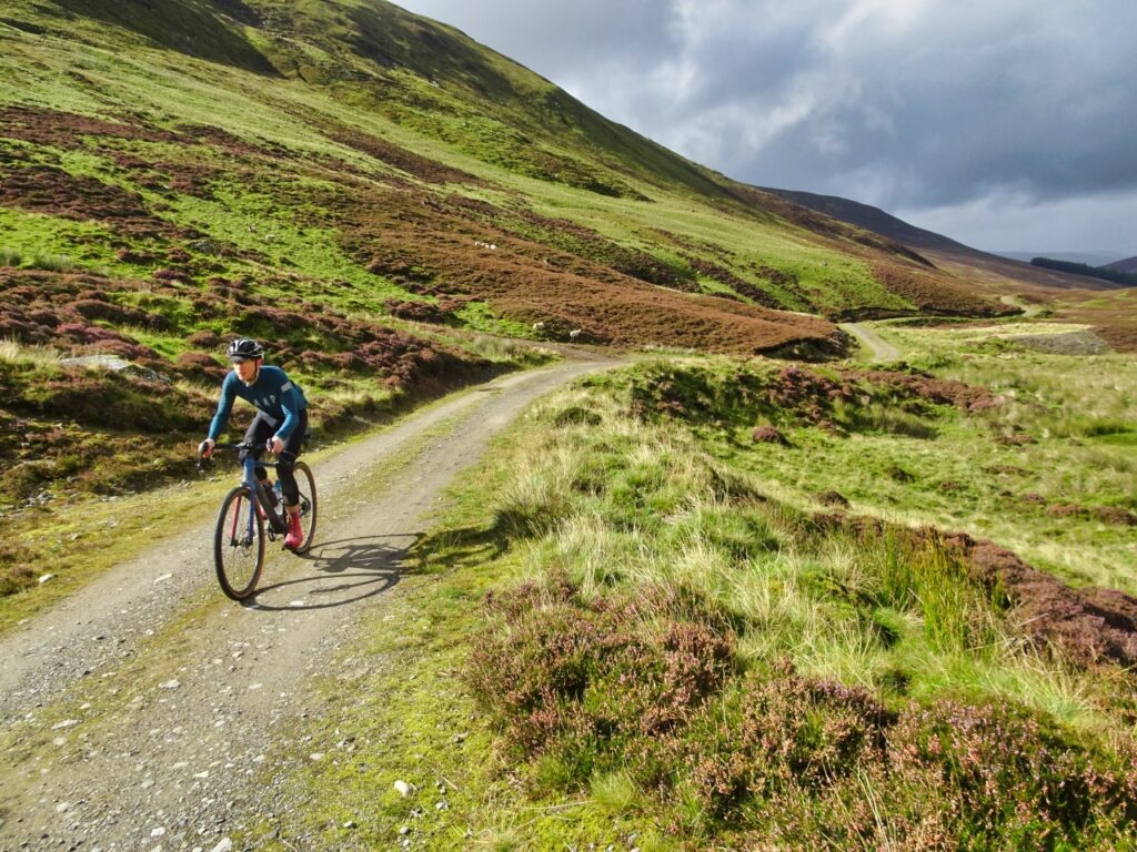
“This is the most difficult and remote section of the route and requires good navigation skills,” reads the route description for the afternoon. We climb through an endless sheep farm on the bumpy Rob Roy Way that goes underwater every so often. Lanky fords a stream either over- or under-confidently and face plants in the deep end. I stop laughing and timidly push through on foot.
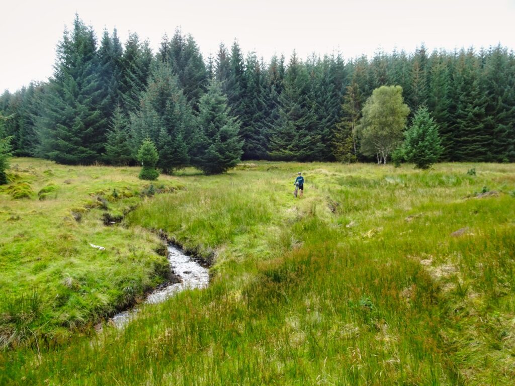
It’s a sunny afternoon, but clouds are coming in as we start a steep push up and over. As the hail hits with no regard for windproofs, the hostility of the conditions sinks in. There’s no shelter here and if the weather decides to really stick, my little emergency space blanket will form a pathetic tissue between me and hypothermia. We reach the top and another dotted-line section: the GPS shrugs and points us for one kilometer over an undulating bog — I shoulder the bike and sink my feet into the spongy ground. Up and down peaty banks, we climb over a fence with dwindling faith that we’ll ever see a solid surface again.
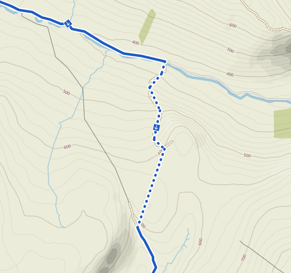
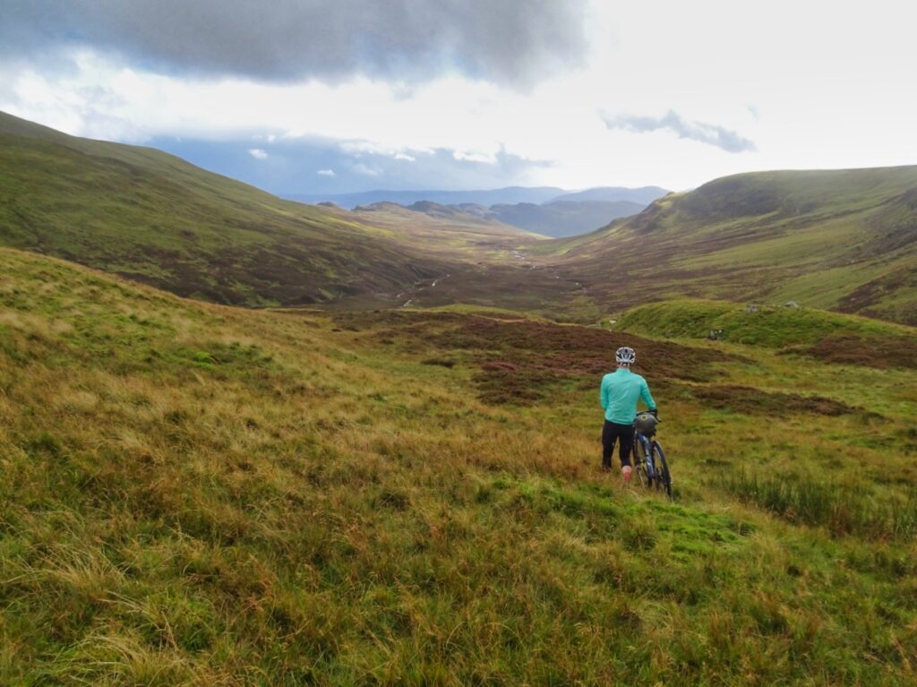
To most of us, this section would feel very much off-route: the archetypal GPS balls-up. But mention to any Scot that you ended up walking through a bog and they’ll say, “Aye, so yer left the car park, then?” And so it was that, as the sun came out and a track appeared below, winding endlessly down into a spectacular new glen, it all started to make sense. Scotland has freedom pumping through its heart, and what could feel freer than crossing from one valley to the next, unshackling ourselves from lines on a map? This is Scotland at its best, and they can take our lines but they can never take our freedom!
All that said, I don’t want to do that again. Dripping our way down to Comrie, with little interest in the route’s detours to see interesting redwood trees, I’m more interested in finding a bike shop. They can’t do anything due to the impending beer o’clock, but agree to sell me the right brake pads, a can of magic spray, and diplomatically keep their opinions about the Drovers’ Trail to themselves. This I consider a good result. We recharge on curry in Crieff.
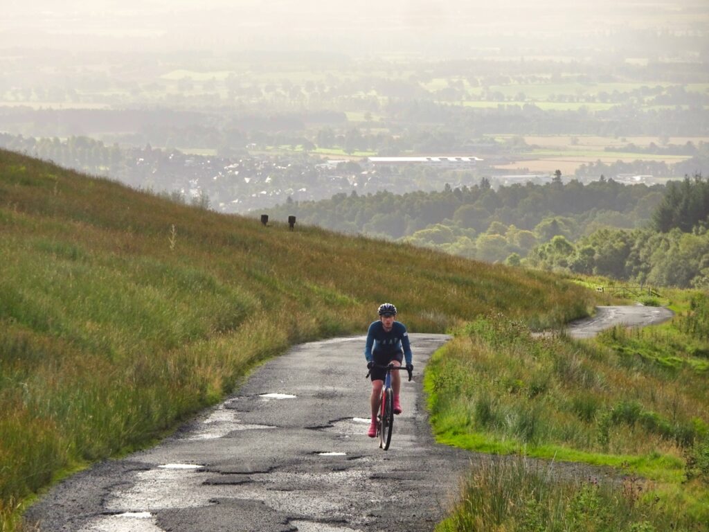
The next morning we climb out past Crieff Hydro, ending up at the Turret reservoir and onto a high plateau. The sheep up here must have seen some bleakness over the years but this morning is a fine one and there are views for miles. We drop down for a bit of fast road and again we climb, past men in tweed out for a good day’s killing, before a long, rocky descent. Lunch in Dunkeld is a late one and Lanky has gone into low-battery mode. A clootie dumpling seems to cure this and before long he’s up to multi-syllable sentences again, and smashing me up the hills.
This third day has been quite a treat, gravel-wise. We go up along tourist paths before leaving them all behind. We cross Griffin Wind Farm on good service tracks, dozens of turbines shooshing through the air, producing enough wind for the rest of Scotland. Back in the forest, we face our final dotted line: we leave a track and push down a stream’s bank, in and out of the woods, before reaching the track that comes up from the other side of the hill.
One unaccounted climb stands between us and Pitlochry. The last crumb of ginger cake has left my system, and I have nothing left as we finally cross the Tummel to the finish line.
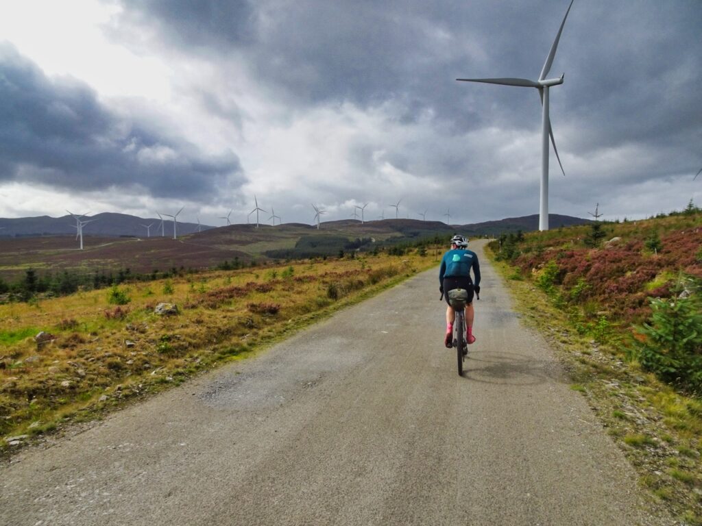
So is this the ultimate gravel bike route? Not quite. There were only a few times where I felt better off on my gravel bike than I would on a mountain bike. It doesn’t use the road network that much, it gets quite involved with soft surfaces, and you need wrists of steel for some of the descents. On top of that, many climbs are so oppressively steep, especially with luggage, that mountain bike gearing would be the only way to keep pedalling. Is it a great adventure route? Absolutely! So take some fat tyres, take a tent and wild camp, take four days to do it more leisurely, take spare brake pads, and take a couple of plastic bags for your feet. It’s a privilege to be able to follow a route through this landscape on a GPS unit, caring only about your next cake stop. Embrace the dotted line.


Leave a Reply